
Ecosystem · RealNav Data
Fly the Real World.
The navigation backbone of the Blackstar ecosystem. Through our partner RealNav, the Eclipse trains on global, commercially licensed navigation data: the same airports, airways, and procedures the real world flies on.
The Data
Train on What You Actually Fly
A simulator is only as good as the world it models. Approximated or outdated navigation data teaches habits that don't transfer: wrong frequencies, missing procedures, airways that don't exist.
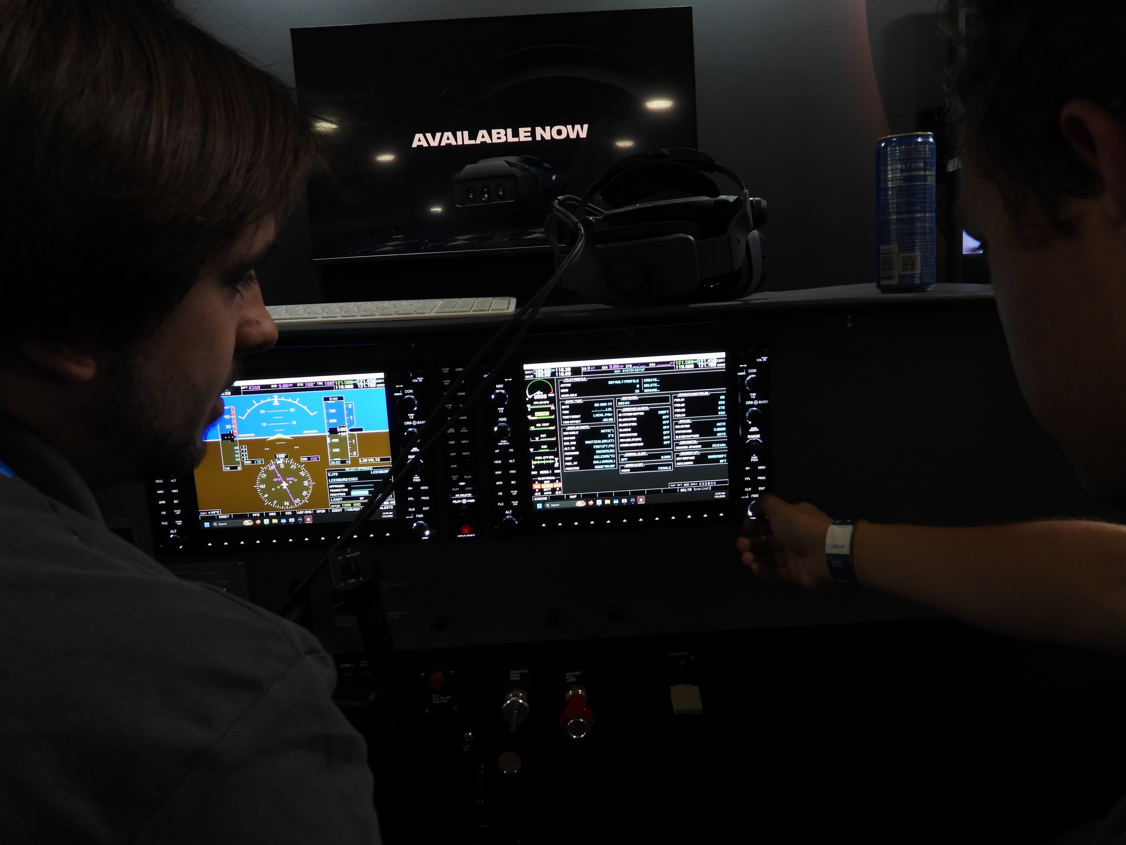
RealNav puts current navigation data directly in the instructor's workflow. Plan, teach, and debrief with the same displays, procedures, and frequencies students will encounter in the aircraft.
Always Current
On a Real Update Cycle
- 4x
Quarterly Cadence
Four data updates a year keep core navigation information fresh for programs that need dependable, cost-effective currency.
- 13x
AIRAC Cadence
Thirteen cycles a year track the international AIRAC schedule, so the sim moves in lockstep with real-world chart revisions.
- 1:1
Chart Accurate
What's in the sim matches what's on the plate. Procedures, frequencies, and fixes line up with published charts.
What It Provides
The Whole Airspace System
Global Coverage
Worldwide navigation data spanning airports, runways, navaids, airways, and terminal procedures, so students can train anywhere on the planet.
4x & 13x Cycles
Data delivered on regular AIRAC-aligned update cycles. Whether on a 4x or 13x cadence, the airspace in the sim stays current with the real world.
Commercially Licensed
Fully licensed, authoritative source data, the same class of navigation information trusted across commercial aviation.
Airways & Procedures
Complete airways, SIDs, STARs, and instrument approach procedures so flight planning, IFR work, and cross-country training reflect published charts.
Navaids & Fixes
VORs, NDBs, DMEs, and RNAV fixes positioned to real-world coordinates, giving instrument students accurate raw-data and RNAV navigation practice.
Chart-Accurate Airspace
The airspace you train in matches the charts you fly, so instrument approaches and procedures transfer directly from the simulator to the aircraft.
Continue Exploring
Where to Next
- 01The EcosystemHow every system connects into one training experience.
- 02PolarisThe visual system: XR-4 Focal Edition, RTX 5090, and instructor iPad.
- 03Varjo XR-4Professional mixed-reality visuals with your real hands in view.
See the Eclipse in Action
Request a demonstration from our team.